Coastal Engineering Design
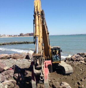
Coastal Solutions provides a broad range of engineering services needed to support design work in the coastal zone. Services include the baseline scientific work required for project feasibility studies and conceptual design (e.g., the measurement and analyses of processes in coastal and nearshore environments), numerical modeling of wave, hydrodynamic, and sediment transport processes, design of shore protection projects, and environmental permitting. Coastal engineering projects are designed in a manner that works with natural oceanographic and geologic processes to the greatest extent possible, and project requirements (e.g., beach nourishment, coastal structures, and dredging at offshore borrow sites) may result in adverse environmental impacts relative to existing conditions. Coastal Solutions personnel routinely perform detailed analyses of coastal processes data sets to evaluate potential environmental impacts and propose alternative designs and mitigation strategies to produce sound project solutions.
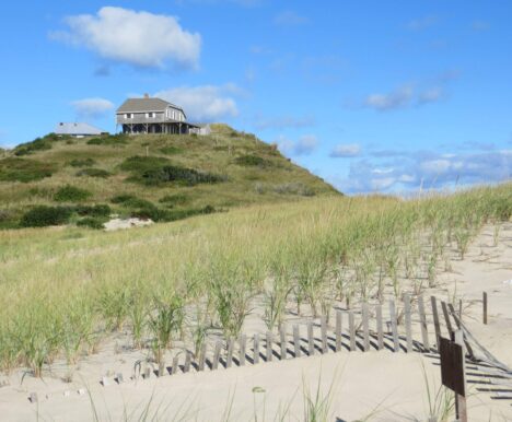
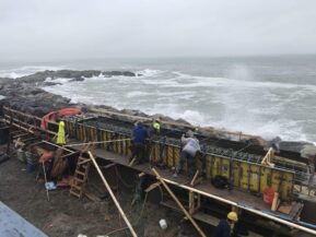
Advanced techniques needed for coastal structure, beach nourishment, channel dredging, inlet structure, or marina/harbor design are employed by the technical staff. Our interdisciplinary capabilities in all phases of project implementation, from feasibility analyses through post-construction monitoring, ensure well-designed projects at consistently high standards. State-of-science analysis techniques for coastal project evaluation and design include quantifying coastal processes and morphologic change, as well as numerical modeling of waves, sediment transport, estuarine and wetland currents/water quality, and storm surge.
Through an in-depth understanding of site-specific coastal processes, Coastal Solutions personnel are able to evaluate viable alternatives and design appropriate solutions. Additionally, the technical staff at Coastal Solutions provide the credibility necessary to satisfy environmental permitting requirements at the local, state, and federal levels. To complement our numerical model work, Coastal Solutions routinely designs and conducts data collection efforts, which are critical to validating coastal processes modeling efforts.
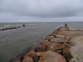
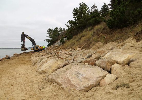
As a result of increasing sea-level over the past several decades, coastal resiliency is a consistent theme for coastal engineering and science professionals. Coastal Solutions strives to develop coastal erosion mitigation efforts in the most environmentally-responsible manner, often focusing on ‘green’ or nature-based approaches for providing shore protection, especially in relatively quiescent wave environments. Recent projects involving enhancement of the natural environment with non-structural shore protection alternatives include Jackknife Beach in Chatham, MA to establish a coir log sill to enhance salt marsh growth and Cotuit Bay (MA) inlet widening to prevent downdrift erosion/scour.
Engineering Design Capabilities
- Shore protection design strategies
- Coastal structure impacts
- Tidal wetland restoration design
- Shore protection feasibility studies
- Coastal environmental permitting
- Wave, current, and water level analyses
- Tidal inlet dynamics
- Sediment transport analyses
- "Nature-based" shore protection design
Example Projects
Nonquitt Marsh Restoration, Dartmouth, MA
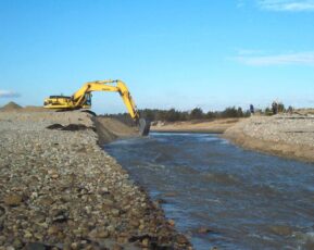
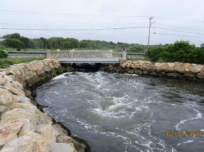
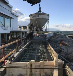
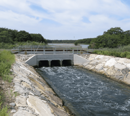
Coastal Solutions team members conducted the analysis, engineering, permitting, and construction oversite for the restoration of Nonquitt Marsh. The restoration of the marsh involved realignment and dredging of an inlet channel through the barrier beach as well as the design and construction of the new roadway bridge to maintain access along Mattarest Lane which runs along the narrow beach. The channel and bridge had to be hydraulically optimized to increase the tidal range and salinity to the degraded Nonquitt salt marsh system which had been tidally restricted since the late 1800's. Long-term restriction to the salt marsh's hydrologic regime has resulted in the subsidence and loss of salt marsh, an increase and the spread of Phragmites Australis (Common Reed) and an overall degradation of water quality and fish and wildlife habitat. The increase in tidal flows, flushing and salinity provided the rehabilitation of approximately 75 acres of salt marsh habitat, improved habitat connectivity between the Nonquitt salt marsh and Buzzards Bay, enhanced fish, wildlife and macroinvertebrate habitat and controlled invasive species.
Winthrop Shores Reservation Restoration - Boston Harbor Beaches Program, Winthrop, MA
Coastal Solutions’ personnel designed and engineered beach nourishment project for shore protection of an approximate 4,200 linear feet of Winthrop Shore Drive. Unlike most beach nourishment projects in the United States, the material utilized for restoration of Winthrop Beach consisted of mixed cobble, gravel, and sand sediments. Once the beach nourishment was completed in late 2014, the high tide shoreline was pushed more than 150 feet from the seawall, with a gradual slope extending approximately 350 feet offshore.
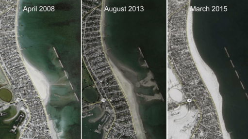
Although shoreline change modeling indicated a design life of approximately 10 years, it was anticipated that the coarse fraction of the nourishment material would be naturally sorted by wave action and form a gravel/cobble berm along the upper portion of the beach (observed along the natural mixed sediment beaches of the New England coast). This results in a slower erosion of the beach berm. Initial monitoring results support this finding, as minimal sediment loss has occurred, despite an active nor’easter season in the winter of 2014-2015.
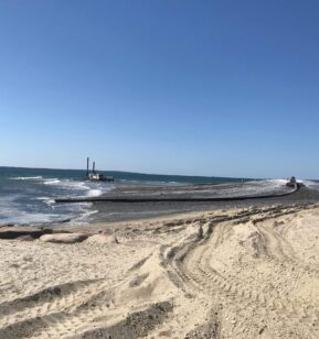
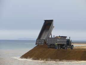
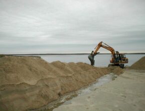
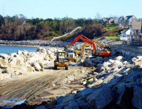
The nourishment program was conducted in two phases: (1) initial dredging of the tombolo landward of the 5 breakwaters to provide nourishment for the southern portion of the beach and (2) trucking approximately 370,000 cubic yards of compatible sediment to nourish the northern portion. The total nourishment volume for both the southern and northern sections was approximately 460,000 cubic yards. The southern nourishment section represented a sand back-passing project that proved successful at minimizing project costs. For the northern section, the sandy borrow material from an upland source in nearby Saugus was mixed with gravel and cobble from other locations in Massachusetts to ensure that beach material would perform in a similar fashion to the native beach. A 300-ft terminal armor stone structure was added to minimize end losses to the north.
